
Professional Land Development Services
We offer a full suite of services that cover every phase of your development project, from initial site evaluation to final construction.
-

Integrated Feasibility & Site Planning
We provide early-stage analysis and planning that combines survey data with civil engineering design to identify potential challenges and opportunities before the first shovel hits the ground.
-

Commercial Land Surveying & Mapping
ALTA/NSPS Land Title Surveys
Topographic & Boundary Surveys
Commercial Construction Surveys
Aerial Drone Mapping & GIS -

Commercial Civil Engineering & Design
Feasibility & Due Diligence
Permitting & Entitlements
Site Grading & Earthwork
Drainage & Stormwater Management
Utility & Infrastructure Design
Erosion & Sediment Control Plans -

Residential Land Surveying & Civil Engineering
Boundary & Property Line Surveys
Fence & Retaining Wall Surveys
Site Plan & New Construction Surveys
Land Subdivision Surveys
Topographic Surveys
Staking & Field Surveys -

Digital Twins & Reality Capture
Explore the future of land development with digital twins and reality capture. This groundbreaking technology creates a precise virtual model of your site, transforming how you plan, design, and manage projects.
Specialized Solutions For Complex Projects
Large-Scale Commercial & Industrial Developments
Residential Subdivisions & Master-Planned Communities
Mixed-Use Projects
Renewable Energy Sites (Wind & Solar)
Utility & Transmission Line Projects
Flexible Engagement Models
Fixed-Fee Services – Pay for only what you need
Monthly Advisory Retainer – Ongoing engineering consulting for multi-phase projects
Performance-Based Fees – Cost-saving optimization for land development
Bulk Discounts – Reduced rates for multi-project engagements

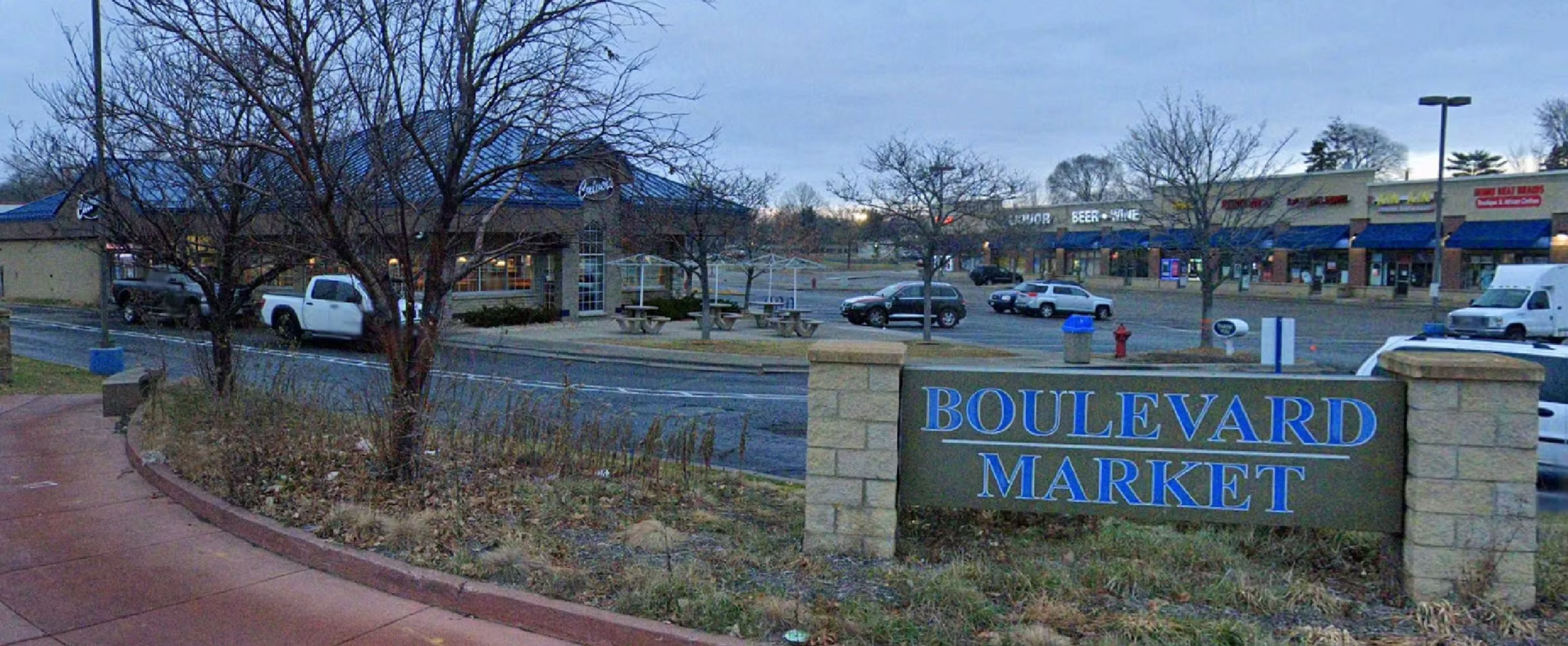
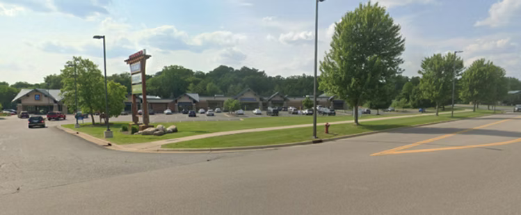

Project Portfolio
Check out some of our recent projects and explore how we’ve helped land development projects go smoothly from the start.